Geolocation and Mapping plots assets, active work orders, and crew locations on a live map giving dispatchers and managers a spatial view of operations rather than a list of records. This is especially useful across a large service territory, a rail line, a trucking lane, or a multi-site facility footprint, where knowing where something is matters as much as knowing its status.

Create, assign, track, and close out work orders from a single mobile workflow, with no paper or disconnected systems in between.
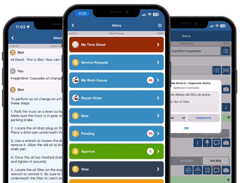
Convert paper inspection forms and checklists into precise digital records with photos, annotations, and full offline support.
AI built into iMarq that gives technicians instant answers, translated communication, and document lookup, grounded in your own manuals and records.
Tell us your organizations landscape today, send us your documents and business processes and we'll set you up with a tailored instance of iMarq!
to live deployment
in the field
to your processes and systems